Page 2 of my (poorly taken) photos of my one and only trip to Tombstone.
Here are some pictures of Cochise County.
Photos and Soundbites |
Page 2 of my (poorly taken) photos of my one and only trip to Tombstone. Here are some pictures of Cochise County. |
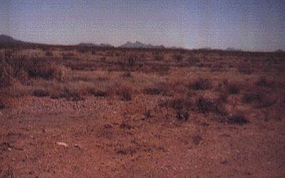 |
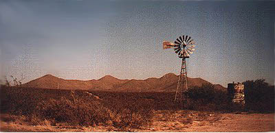
My best estimation of the McLaury's Sulphur Springs ranch. About three miles south of Elfrida. |
| Another shot of the Sulphur Springs ranch area. Sure doesn't look like cattle land. | 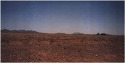 |
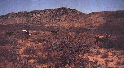 |
The reason for all of the trouble. Texas Longhorns. This picture was taken on the dirt road between Tombstone and Sulphur Springs Valley. |
| The Whetstone Mts. I figured I was within a few miles radius of the McLaury's Babocomari ranch from this location. Taken a few miles from Fairbank on S-82. | 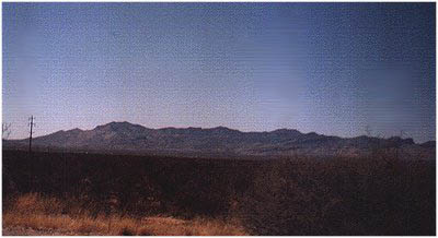 |
 |
The group of hills that made Tombstone a famous boomtown. Tombstone is just behind the left end of the hills. |
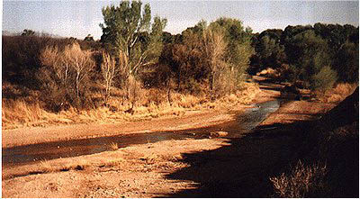
| The mighty San Pedro River. Growing up around the rivers of the North Cascades in Washington, I found this little creek to be... cute. |
 |
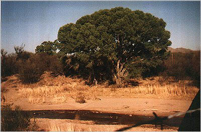 |
The ribbon-like swatch of vibrant green along the San Pedro stands in sharp contrast to the browns and golds as it cuts through the Arizona desert. |